Tibet 2011, Kailash kora and trekking to Senge Khabab (Source of the Indus river)
Sep 30, 2011
Tarboche. Starting Kailash kora
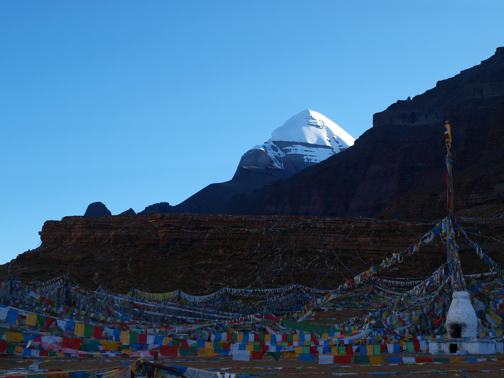
Chuku Gompa
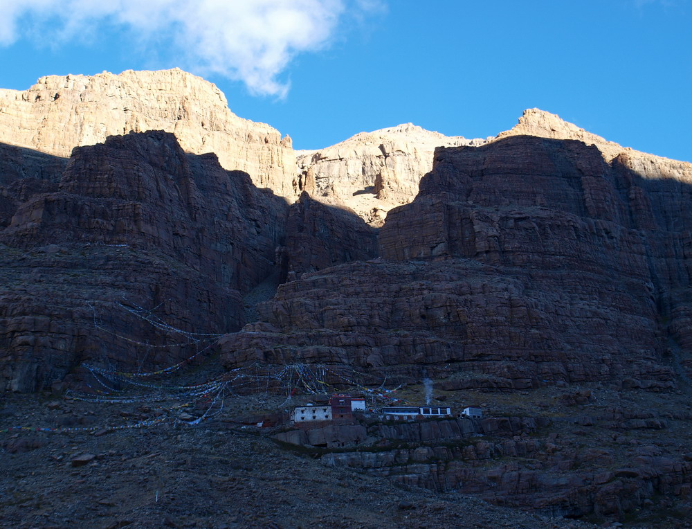
16 Arhats (rocks opposite to Chuku Gompa)
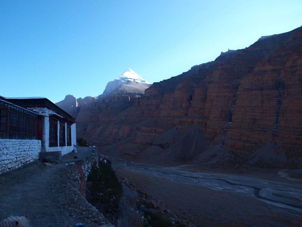
Mt. Chepagme (Amitayus)
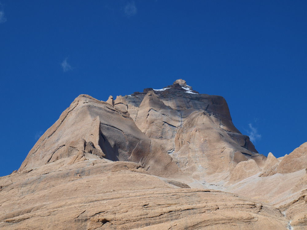
Mt. Drolma (Tara) and Mt. Chepagme (Amitayus)
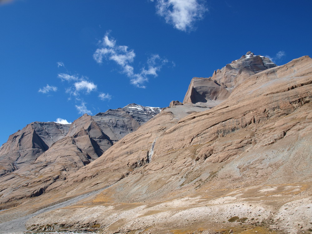
Kailash from the west
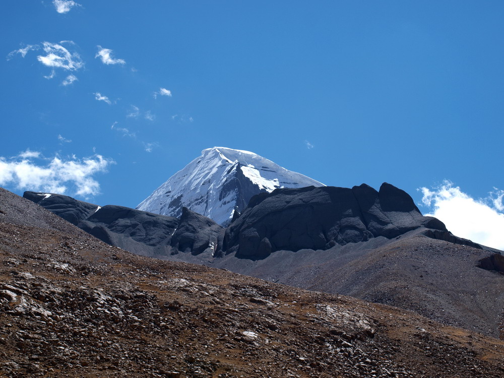
Kailash from Diraphuk
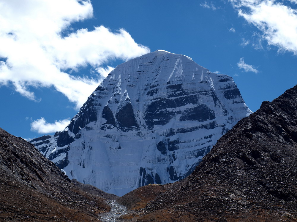
To the north of Diraphuk
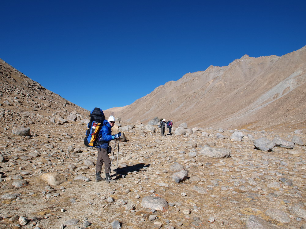
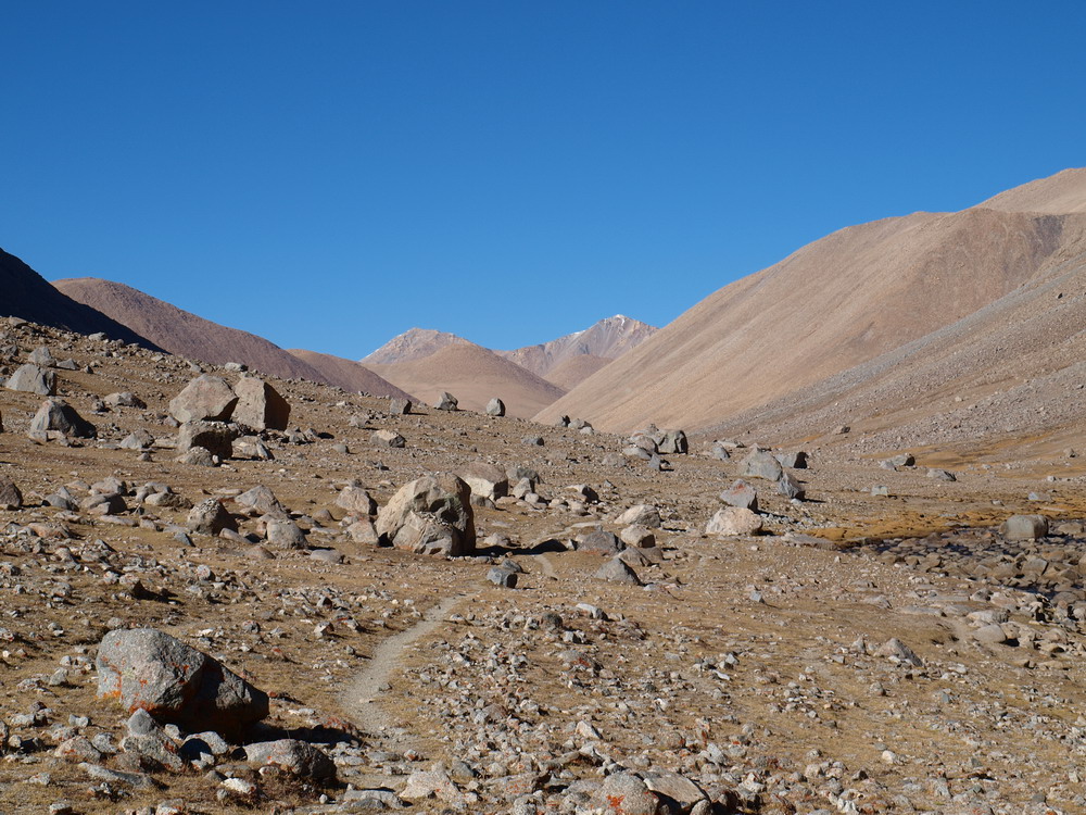
Sep 30, 2011
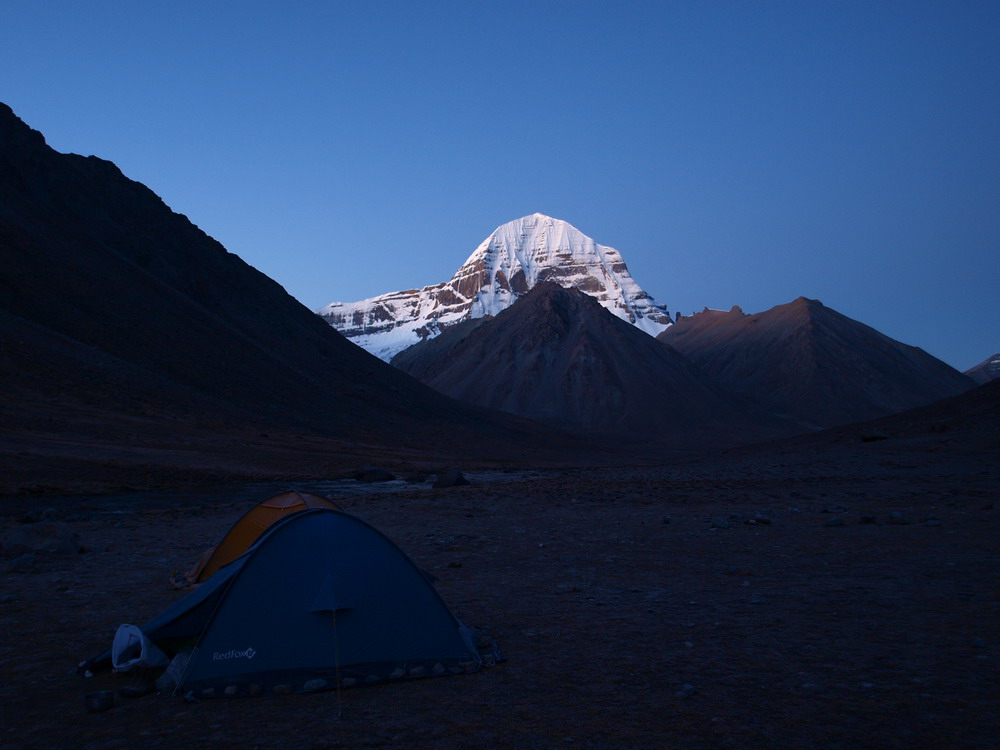
Our first camp with Kailash view (5120 m)
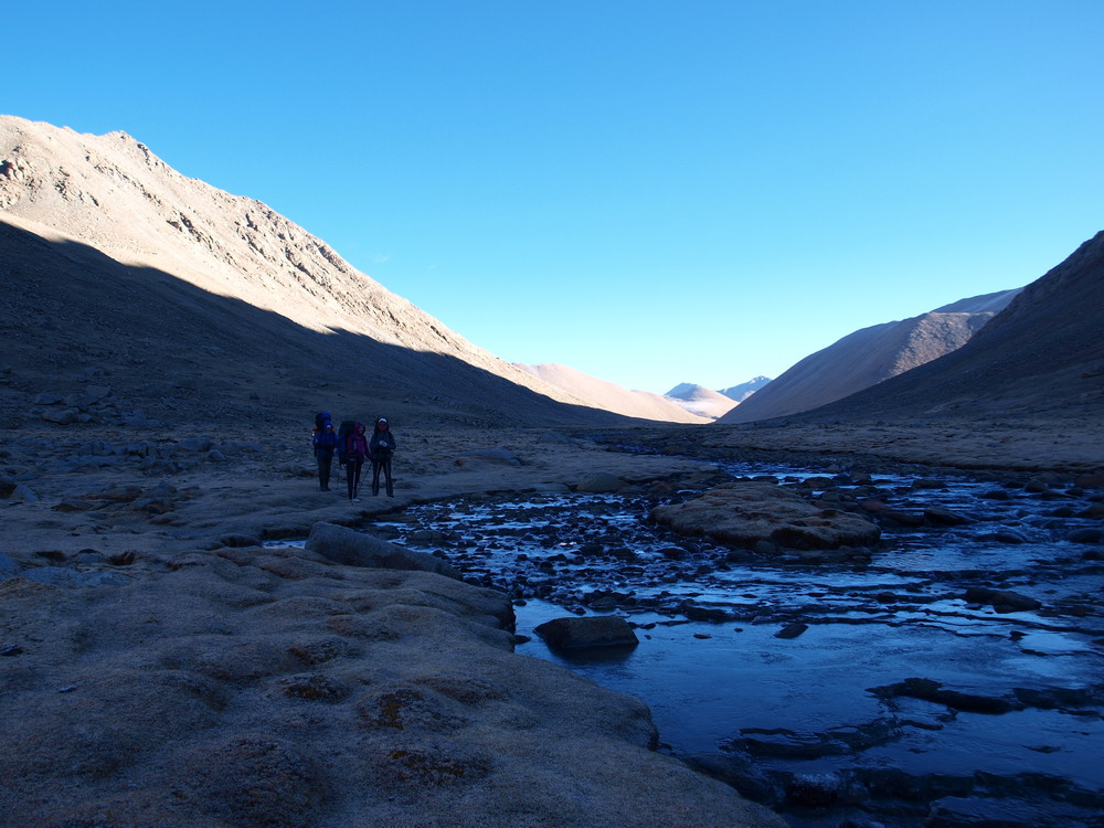
Frozen Lha Chu river in the morning
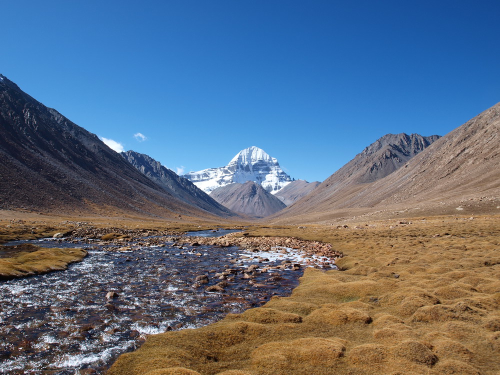
To the North of Diraphuk. Lha Chu valley
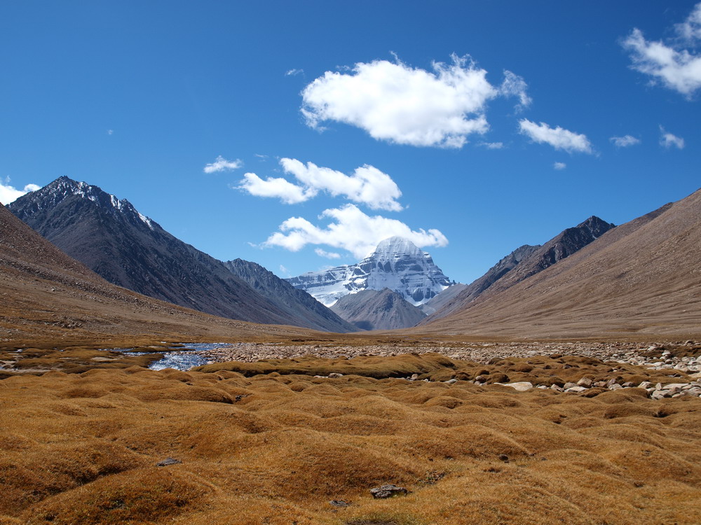
Ascent to Tseti La
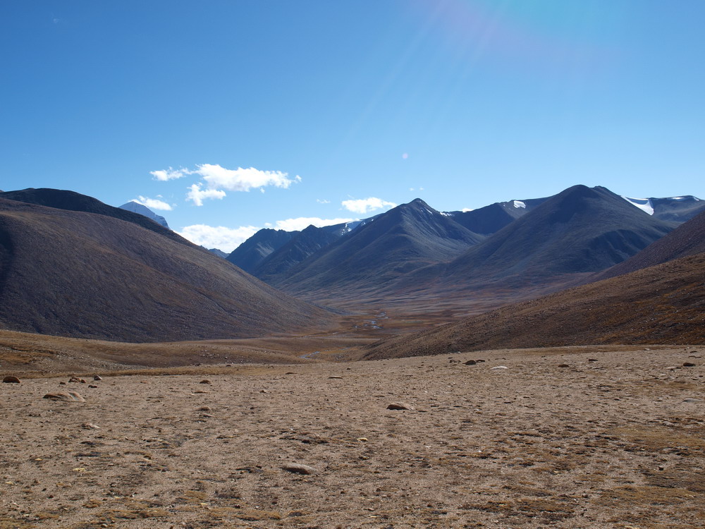
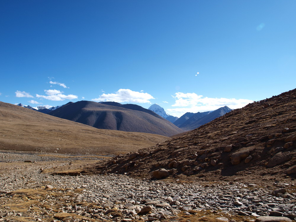
At the top of Tseti La (5605 m)
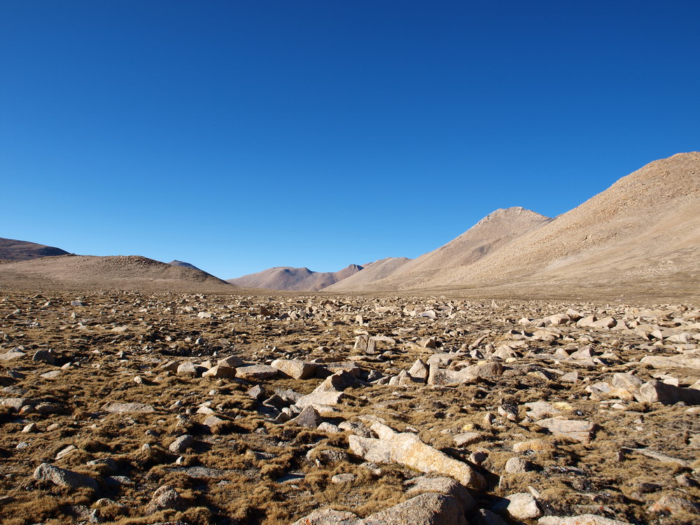
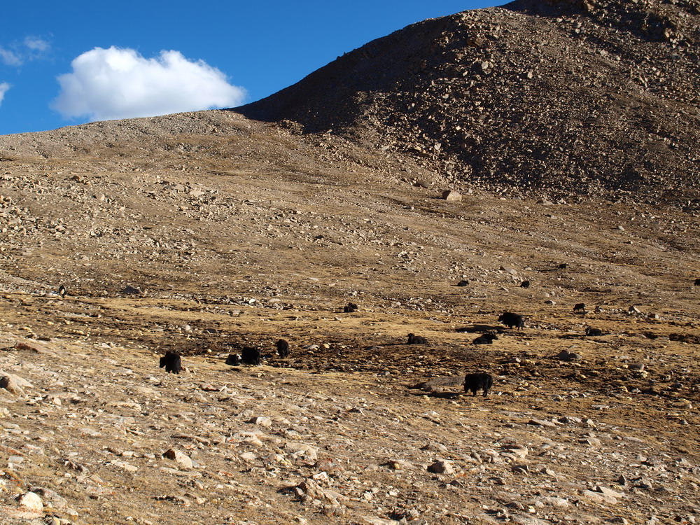
Yaks below Tseti La
Oct 01, 2011
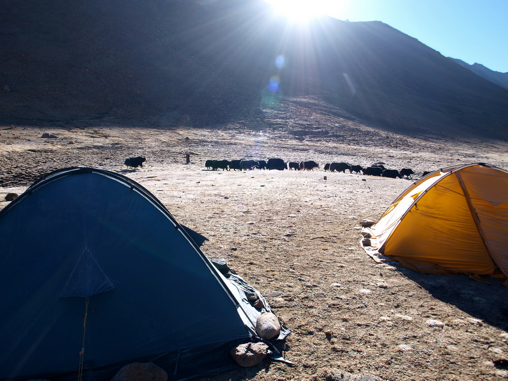
Our camp near Tseti Lachen La (5430 m)
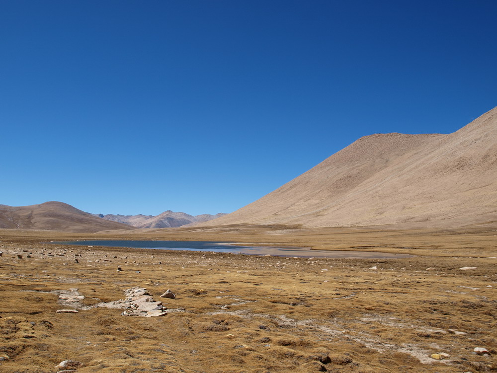
Lake near Tseti Lachen La
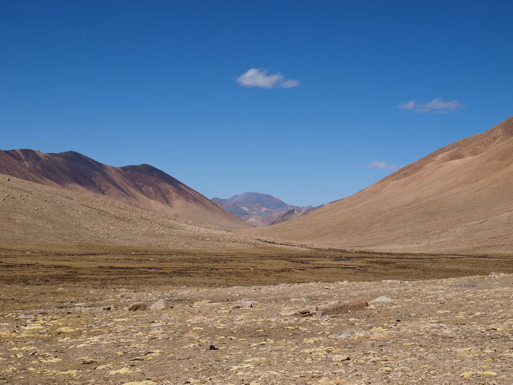
Tseti Lung valley
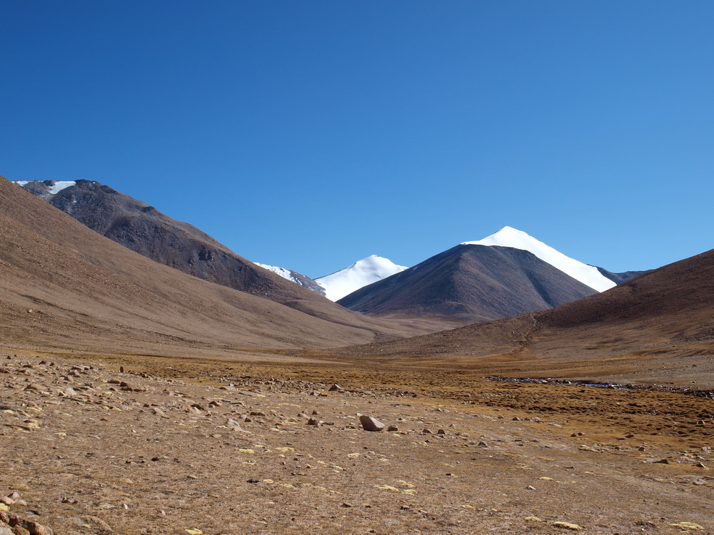
Oct 02, 2011
Approaching Indus valley
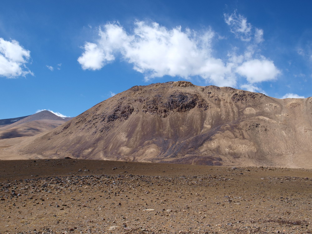
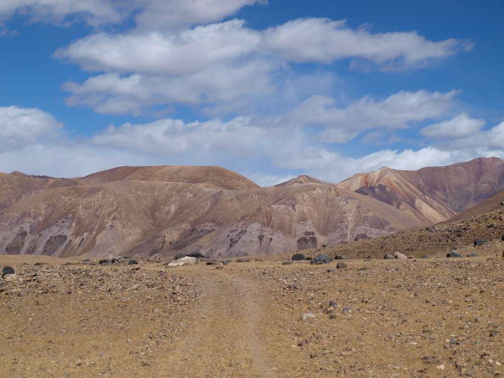
Near Senge Buk
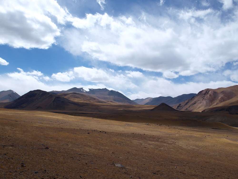
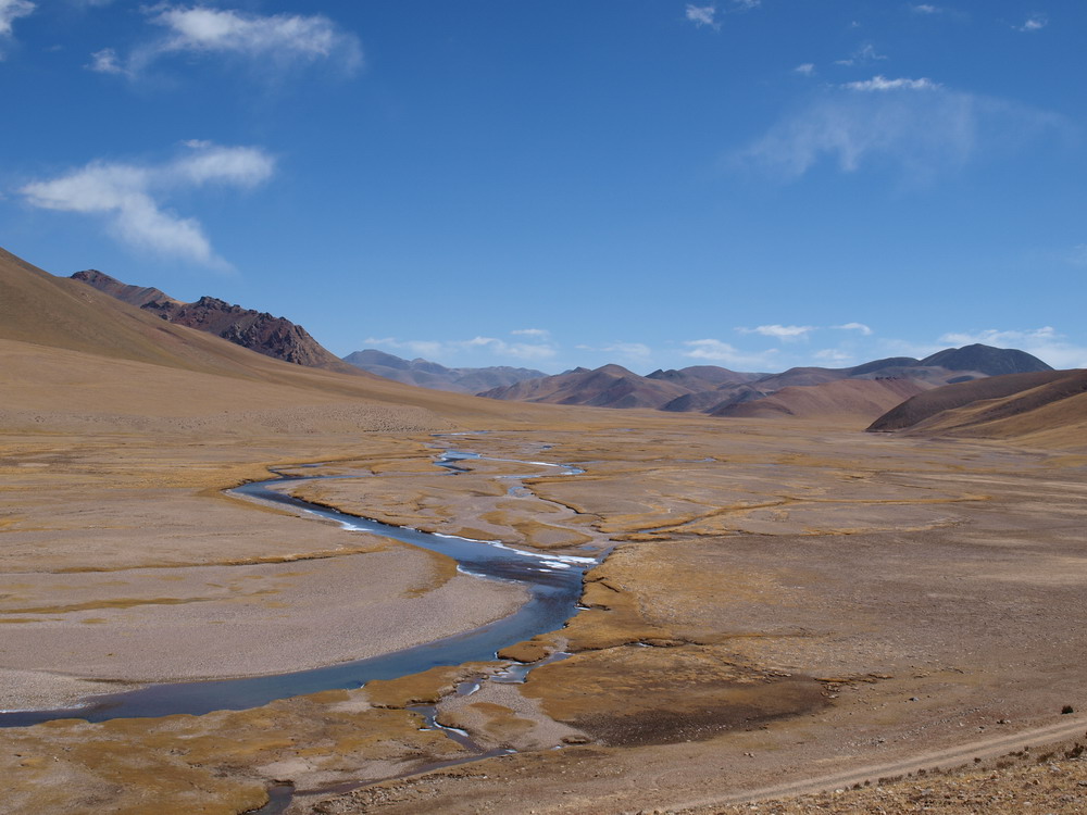
Indus valley
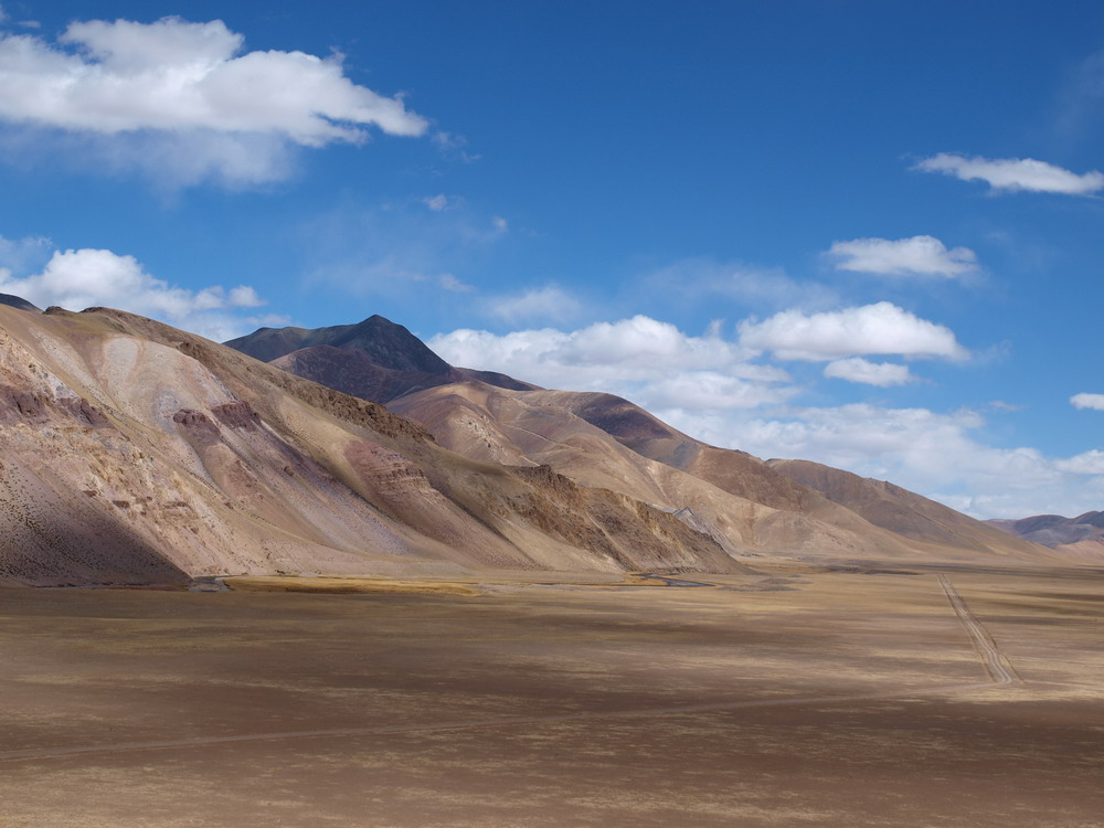
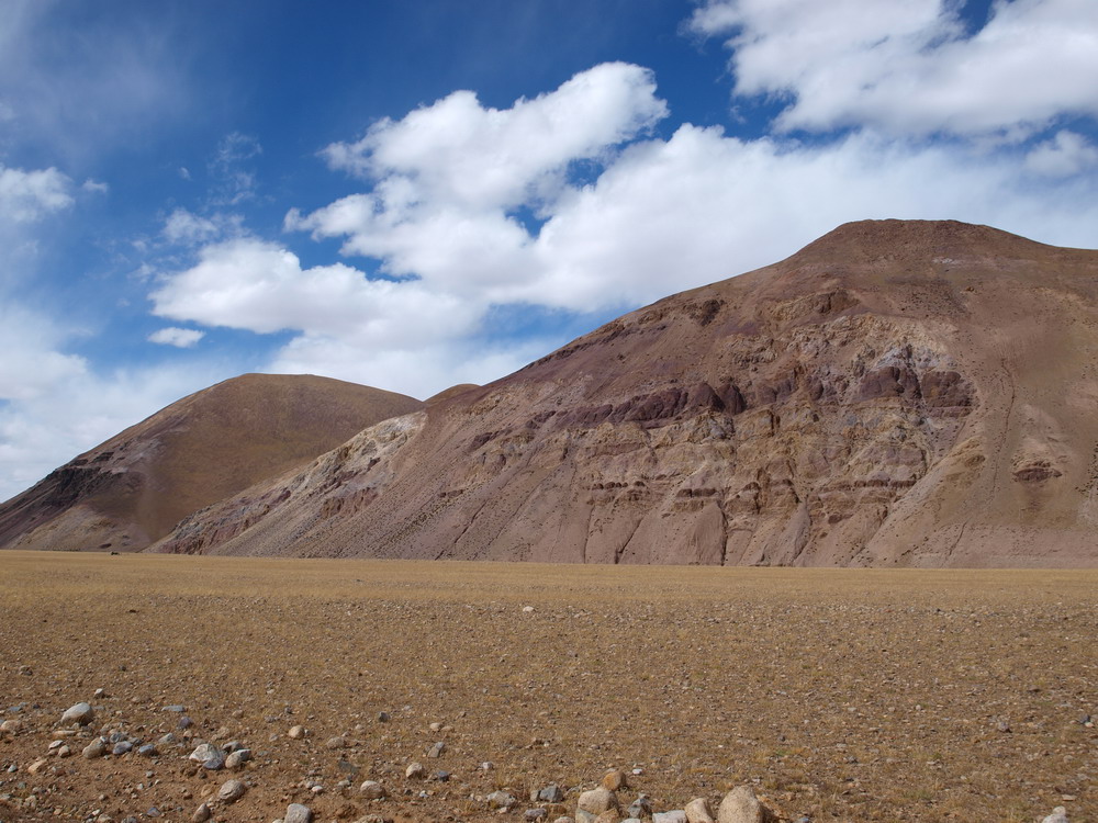
Mountains to the North of Indus valley
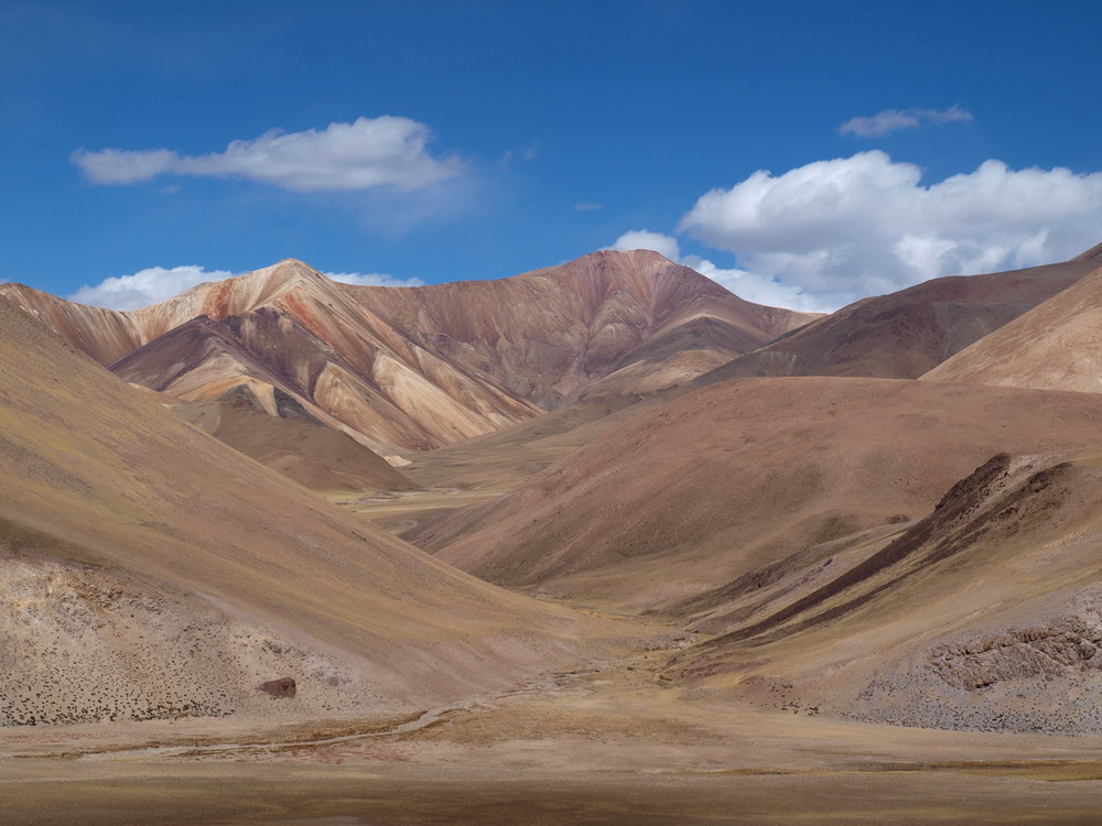
Indus river
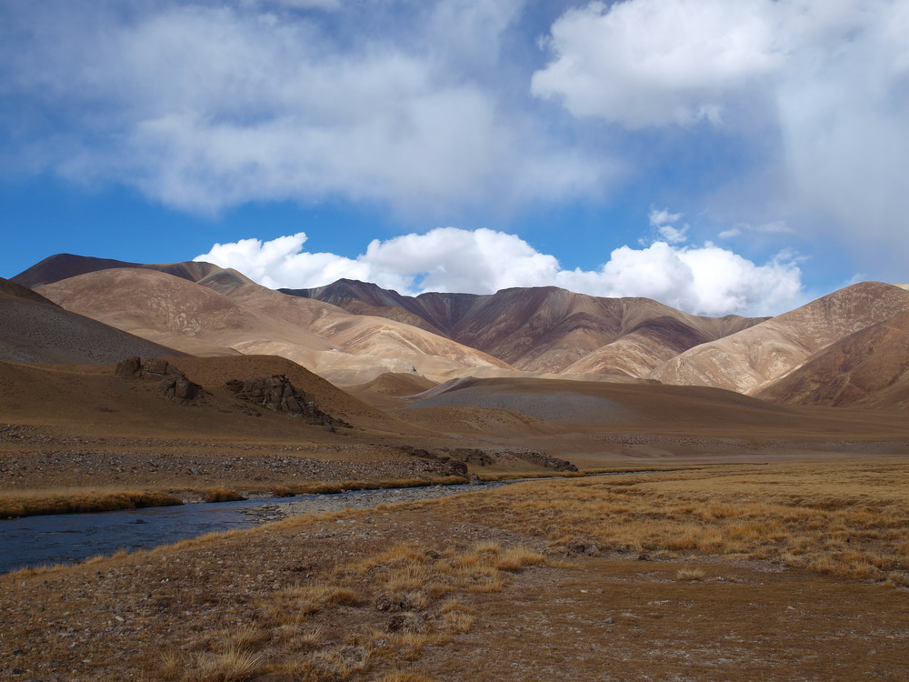
Our camp on the Indus bank (click here to enlarge)

Oct 03, 2011
Indus river
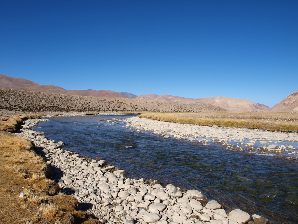
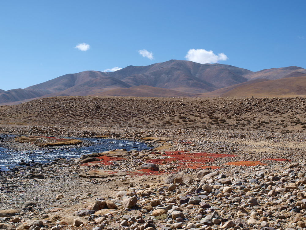
Indus valley
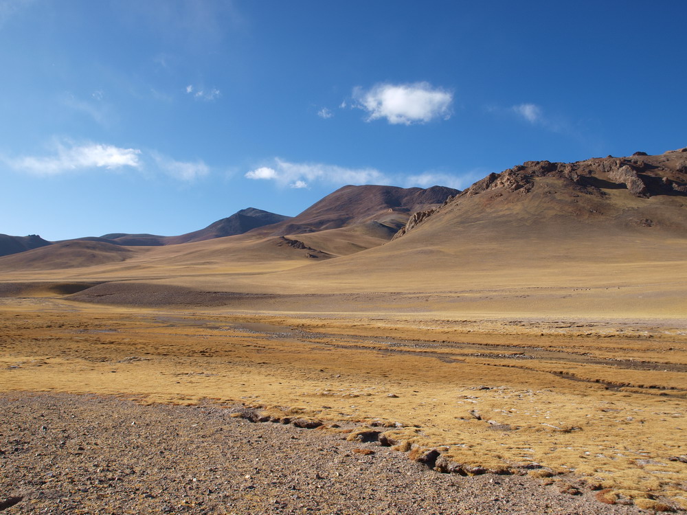
Lungdeb river (near confluence with Indus)
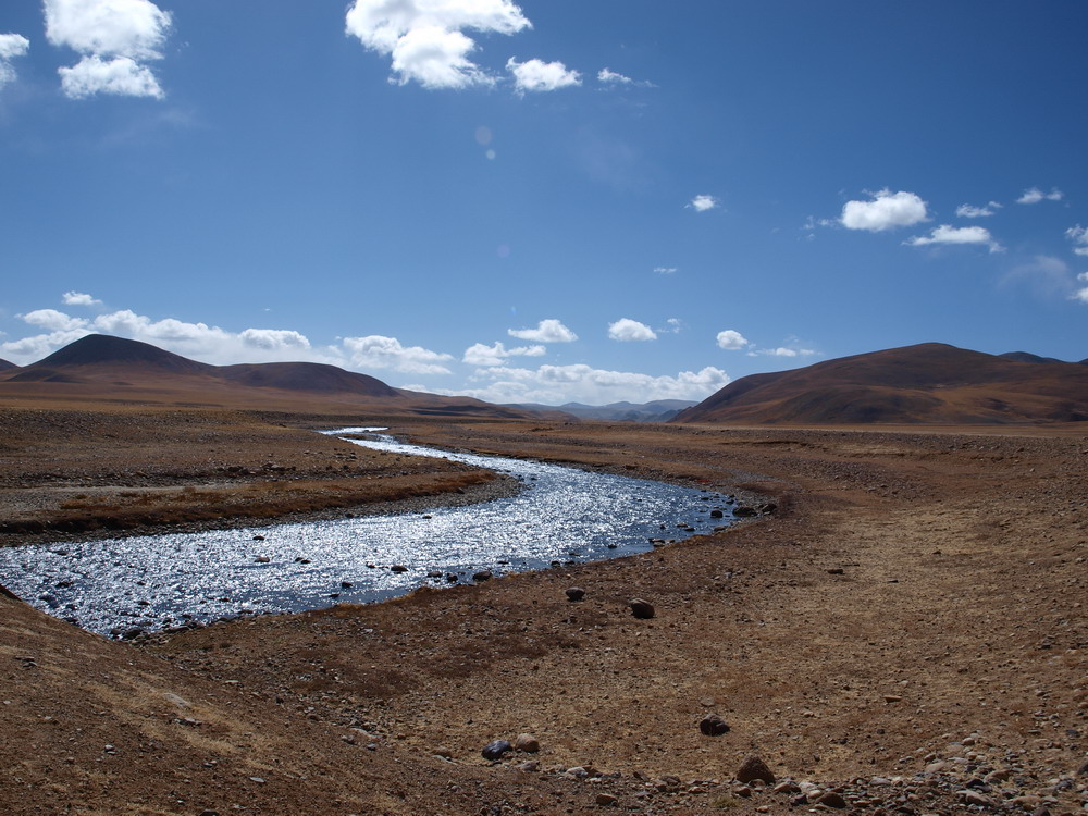
Indus valley
Next page >
Address correspondence to:
Vladislav V. Zakharov
vlad.v.zakharov@mail.ru
Faina M. Zakharova
fainaza@mail.ru


